Proclamation No. 193 Series of 1928 Reserving Parcel of Land in Santo Tomas for Water Supply Use by Tanauan
BY THE GOVERNOR-GENERAL OF THE PHILIPPINE
ISLANDS — A PROCLAMATIONNo. 193
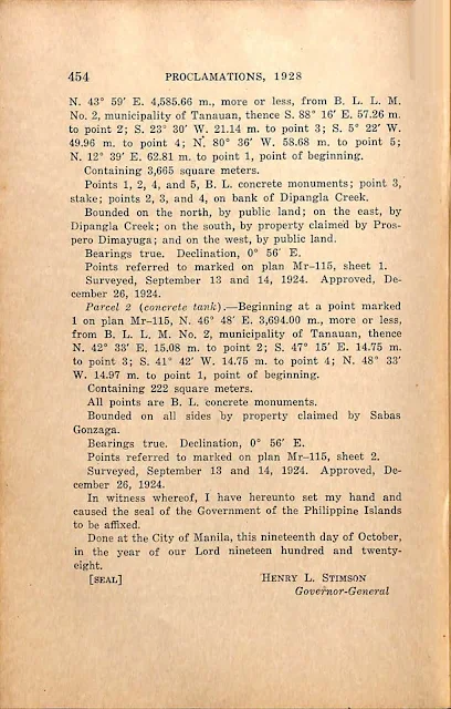
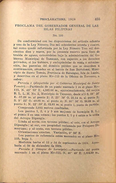
Pursuant to the provisions of section eighty-one of Act Numbered Twenty-eight hundred and seventy-four, as amended by Act Numbered Thirty-two hundred and nineteen, I hereby reserve, under the administration of the municipal government of Tanauan, for water-supply purposes, subject to private rights, if any there be, and withdraw from sale or settlement the following-described parcels of the public domain situated in the barrio of San Bartolome, municipality of Santo Tomas, Province of Batangas, Island of Luzon, and described in Bureau of Lands plan Mr-115, to wit:
Parcel 1 {contested by the municipal government of Santo Tomas). — Beginning at a point marked 1 on plan Mr-115, N. 43° 59' E. 4,585.66 m., more or less, from B. L. L. M. No. 2, municipality of Tanauan, thence S. 88° 16' E. 57.26 m. to point 2; S. 23° 30' W. 21.14 m. to point 3; S. 5° 22' W. 49.96 m. to point 4; N. 80° 36' W. 58.68 m. to point 5; N. 12° 39' E. 62.81 m. to point 1, point of beginning.
Containing 3,665 square meters.
Points 1, 2, 4, and 5, B. L. concrete monuments; point 3, stake; points 2, 3, and 4, on bank of Dipangla Creek.
Bounded on the north, by public land; on the east, by Dipangla Creek; on the south, by property claimed by Prospero Dimayuga; and on the west, by public land.
Bearings true. Declination, 0° 56' E.
Points referred to marked on plan Mr-115, sheet 1.
Surveyed, September 13 and 14, 1924. Approved, December 26, 1924.
Parcel 2 (concrete tank). — Beginning at a point marked 1 on plan Mr-115, N. 46° 48' E. 3,694.00 m., more or less,
from B. L. L. M. No. 2, municipality of Tanauan, thence N. 42° 33' E. 15.08 m. to point 2; S. 47° 15' E. 14.75 m. to point 3; S. 41° 42' W. 14.75 m. to point 4; N. 48° 33' W. 14.97 m. to point 1, point of beginning.Containing 222 square meters.
All points are B. L. concrete monuments.
Bounded on all sides by property claimed by Sabas Gonzaga.
Bearings true. Declination, 0° 56' E.
Points referred to marked on plan Mr-115, sheet 2.
Surveyed, September 13 and 14, 1924. Approved, December 26, 1924.
In witness whereof, I have hereunto set my hand and caused the seal of the Government of the Philippine Islands to be affixed.
Done at the City of Manila, this nineteenth day of October, in the year of our Lord nineteen hundred and twenty-eight.
[SEAL.]
HENRY L. STIMSON
Governor-General


