Batangas Province Flood and Landslide Susceptibility Maps
This post makes available hazard maps of the Province of Batangas which are re-posted from the Department of the Interior Local Government (DILG) as a public service to the citizens of the province and because this site believe that citizens have a right to know more about the localities in which they live. The pictures are originally from a PDF document that DILG makes available on its web site.
Each picture was uploaded as a large file. Since there are several pictures in this page, it may take time for the page to load freely. If the pictures do not all load at one time because of a slow connection, simply refresh or reload the page. To see a bigger version, simply click on the image.
Please note the legends made available by the DILG to the right of each map to fully appreciate the flood and landslide susceptibility of each area.
PROVINCIAL HAZARD MAP
This map has been stitched together from two large maps.
BATANGAS QUADRANGLE LANDSLIDE & FLOOD SUSCEPTIBILITY MAP
CALATAGAN QUADRANGLE FLOOD SUSCEPTIBILITY MAP
CALATAGAN QUADRANGLE LANDSLIDE SUSCEPTIBILITY MAP
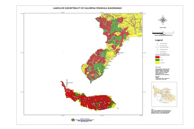
CALUMPIAN PENINSULA LANDSLIDE SUSCEPTIBILITY MAP
LEMERY QUADRANGLE FLOOD SUSCEPTIBILITY MAP
LEMERY QUADRANGLE LANDSLIDE SUSCEPTIBILITY MAP
LIPA CITY QUADRANGLE LANDSLIDE SUSCEPTIBILITY MAP
LOBO QUADRANGLE LANDSLIDE & FLOOD SUSCEPTIBILITY MAP
MALABRIGO QUADRANGLE LANDSLIDE & FLOOD SUSCEPTIBILITY MAP
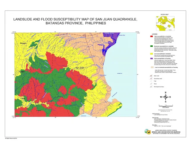
SAN JUAN QUADRANGLE LANDSLIDE & FLOOD SUSCEPTIBILITY MAP
TANAUAN QUADRANGLE LANDSLIDE SUSCEPTIBILITY MAP
Notes and references:
Acknowledgment: DILG


